Gargantua Islands
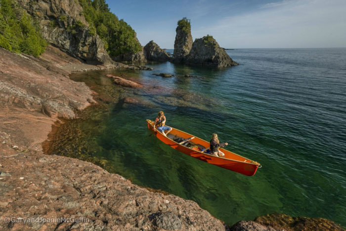
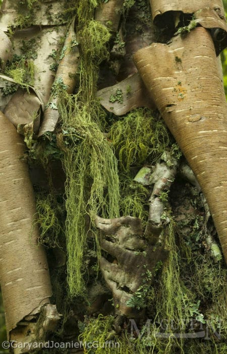
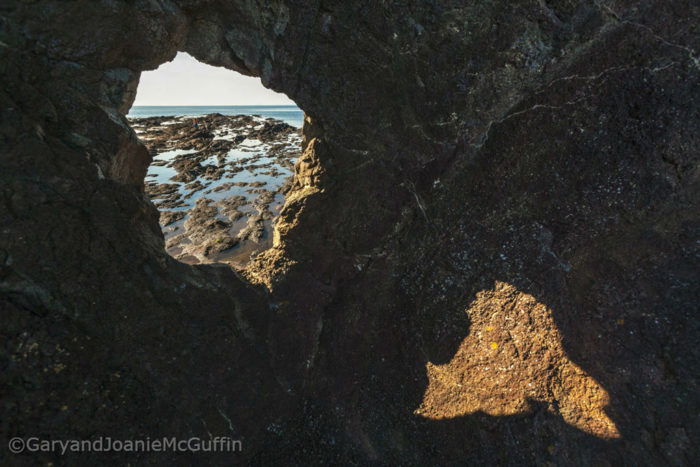
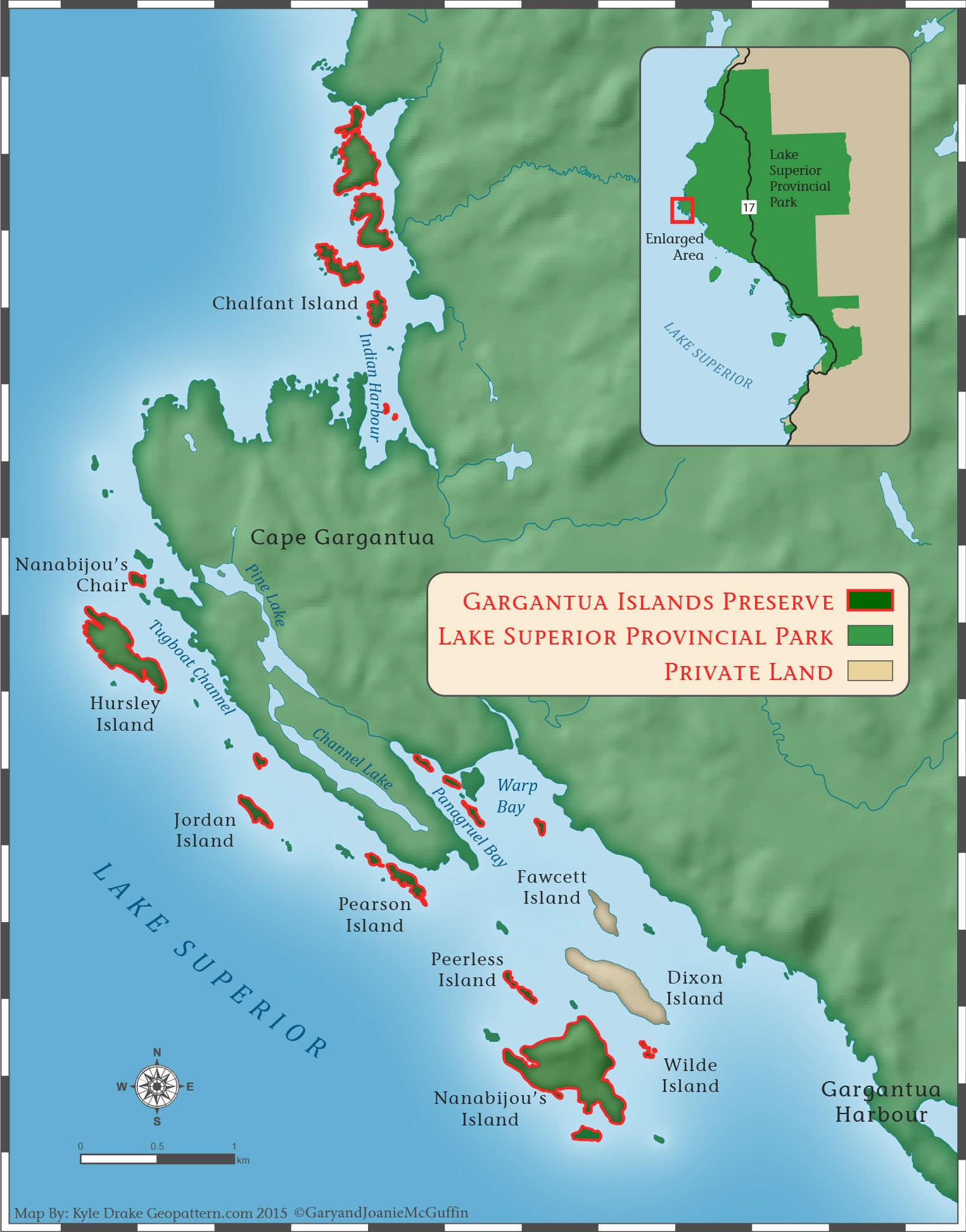
Our first visit to the islands of Gargantua happened during our cross Canada canoe journey. Cape Gargantua’s primitive beauty was unforgettable. The dark volcanic rock pockmarked with patterns easily transformed into faces. Cliffs and caves overhung with ancient cedars. Lake Superior Provincial Park’s common names for the Devil’s Chair, and a larger island to the south, Devil’s Warehouse Island, were named by overzealous missionaries eager to abolish the Anishnabe’s most spiritual connections. But stories of Nanabijou who rested here after leaping across Lake Superior from Thunder Bay, are being revived and re-told again by the people whose cultural heritage is rooted in this place. So when these islands were poised to be sold by private owners, the Lake Superior Watershed Conservancy was able enact a permanent conservation outcome to see these islands remain wild for all time.
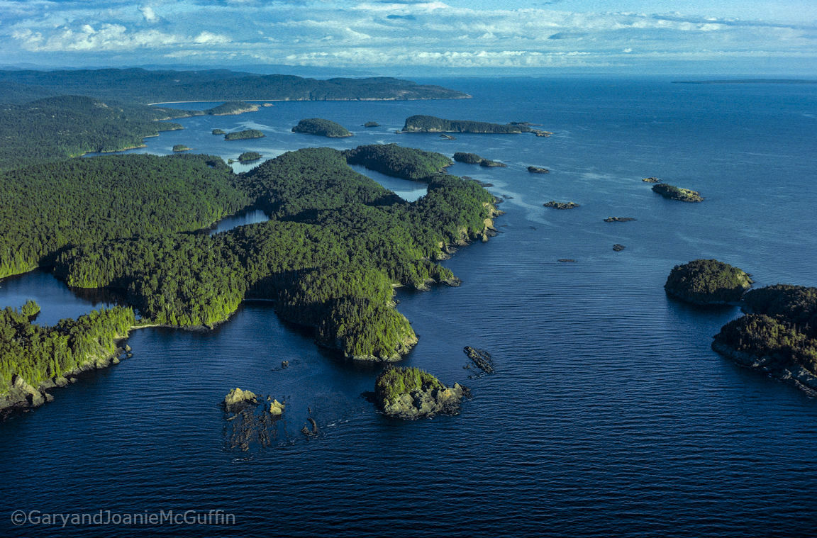
Gargantua Islands Are Protected By The Lake Superior Watershed Conservancy
The McGuffins are founders of the international non-profit, the Lake Superior Watershed Conservancy. LSWC is an organization dedicated to ensuring the long-term sustainable health of the entire Lake Superior watershed for the future of the total ecosystem and the people who live within it. Through the basin-wide communication, education, scientific study, preservation and conservation activities, we are dedicated to protecting the natural legacy of the largest fresh water lake, by surface, in the world. We invite you to contact LSWC to make a donation or become involved in protecting this World Wonder. Read more on how the Lake Superior Watershed Conservancy saved these culturally and ecologically important islands: www.superiorconservancy.org/gargantua-islands-preserve
Experiencing the Gargantua Islands


